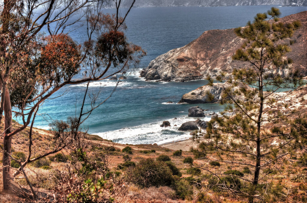
Photo by Craig M. Renwick
After three hours of bouncing around the island’s interior, we were simply amazed at the monumental splendor of the landscapes and seascapes. I reflected that it was nice to feel that after hearing of Catalina since I was a boy, over fifty years ago, it had joined my lifelist of Good Places.
Unfortunately, Craiggie’s sufferings continued. After dinner that night he had a nasty attack of food poisoning (one bad piece of fish, he guessed), leaving him intestinally drained and sleepless. When I called on him in the morning, Craiggie stood at the door in his robe, his usual amiable features haggard and miserable. He groaned and shook his head as he told me about it, and said he was thinking about taking the ferry back to the mainland. I couldn’t stand the thought of him missing the rest of the trip—the best part was to come, I was sure!—and I scrambled to give him one last chance, even exert a little peer pressure, if necessary. I said, “Take an hour—maybe pull yourself together and go downstairs for a little tea and oatmeal. We’ll go eat at Jack’s, then pick up some provisions, dinghy back to the boat and head for the fuel dock. If you’re feeling any better, you can meet us there.”
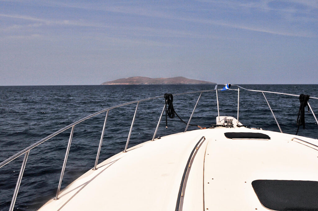
Craiggie showed up as Michael and I were filling the diesel tanks, but he was still not feeling (or looking) much better. Fortunately the wind and waves had calmed, and the sun was bright as we motored around the island’s western point and cruised its shore. Soon after Catalina passed astern, I spotted the rounded hump on the horizon—my desire for so long, Santa Barbara Island. It looked barren, like most of the islands, which have no native trees save for stands of endemic Torrey pines and live-oaks on the larger ones, and a few introduced cottonwoods and eucalyptus trees planted around the former ranch buildings.
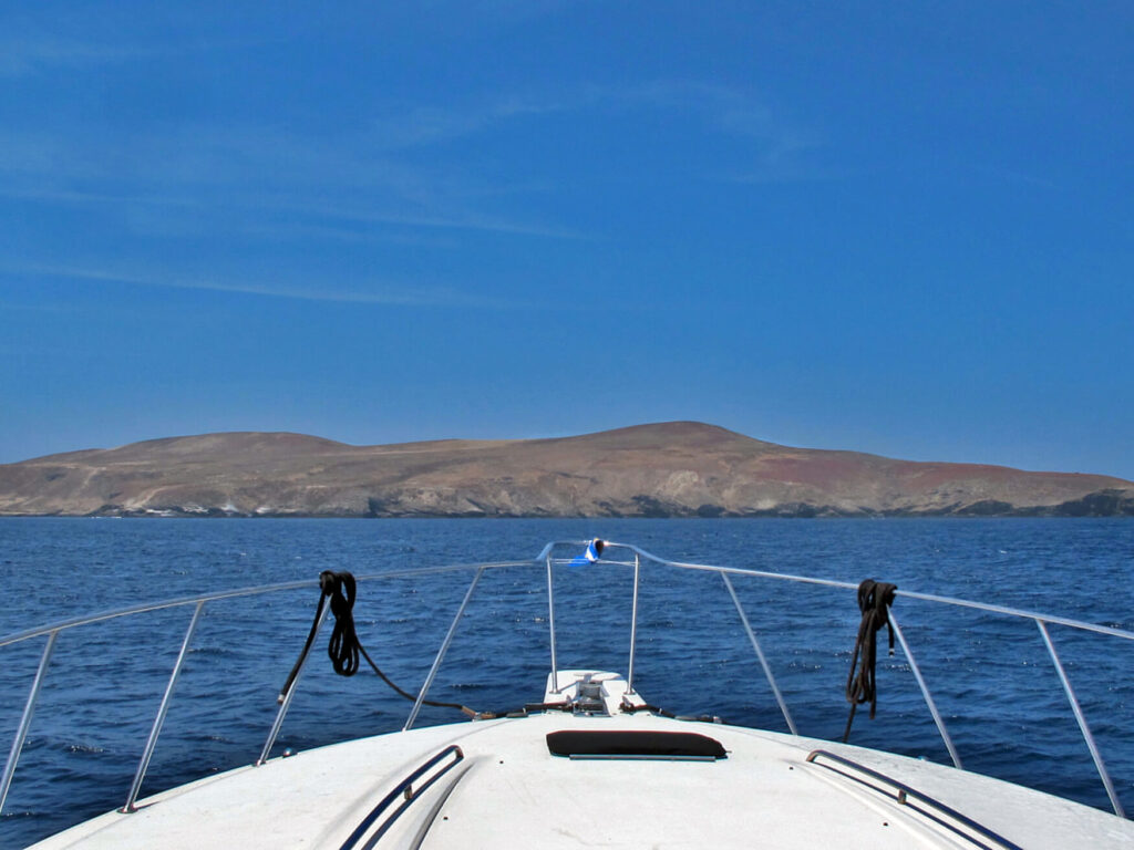
Photo by Craig M. Renwick
We anchored in Landing Cove just as one of the park service boats was leaving the small dock that clung to the shore like a barnacle. Through my binoculars I saw two tiny figures humping loads on their backs high up to the buildings atop the cliffs. Later I learned they were two young biologists there to study the nesting seabirds. The dock looked forbidding, and there didn’t seem to be any way for me to get ashore.
Once the anchor was down, Craiggie took to a bunk, and Michael ferried me in the dinghy. We motored along the shore looking for another landing place, and all the while he had to try to steer clear of the kelp beds. The long, ropy strands would tangle around the propeller until it cut through (“making salad,” Michael called it, leaving a wake of chewed-up greenery), or we had to stop and reverse the prop, or even cut away the sinewy stems with a knife. The actual shoreline was all sharp rocks—not friendly to an inflatable rubber boat—and we circled back around for a closer look at the dock. A twisted metal ladder appeared between two of the upright pilings, and when Michael drove the dinghy straight between them, I could just reach a crossbar and haul myself up. Later I learned that a storm had battered the dock’s entire structure, almost destroying the landing ladder, and at that time it was closed to visitors. The arriving naturalists had removed the sign and set it aside while they hauled their gear ashore.
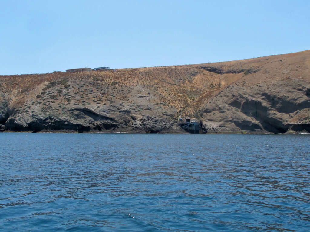
(National Park Buildings at Top Left)
Photo by Craig M. Renwick
Good thing for me, because that sign might have discouraged me—and thus caused me to miss a wonderful experience ashore. The switchback trail led steeply upward through waist-high shrubs of giant coreopsis, or tree sunflower—another species endemic to each island, and spectacular when in bloom. They look the opposite of “giant,” more like a shrunken tree—they have been compared to a Dr. Seuss character, with strange twisted limbs and tufts of beard. In a unique adaptation to the islands’ rainfall patterns, coreopsis are called “summer deciduous,” losing their leaves during the dry summers rather than in fall or winter. Now that I have gotten to “know” the look of coreopsis shrubs, I notice them along the Pacific Coast Highway, in the Santa Monica Mountains. It is thought they evolved on the islands, then spread to the mainland—again, the reverse of usual natural history.
At the top of the steps was a small unmanned visitor center, where I was pleasantly surprised to collect a passport stamp for my journal. Another small building with a row of four doors appeared to be simple accommodations for visiting park personnel and scientists, and a screened nursery held specimens of the many native plants they were trying to reintroduce to each island.
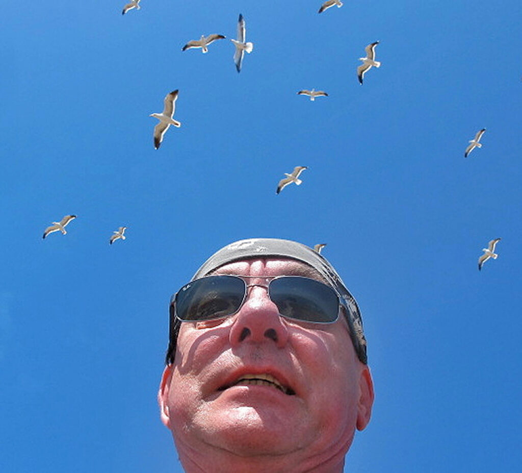
From there I followed a narrow footpath up through low, grassy vegetation toward higher ground. I am always in search of the best view, and it would not be difficult to reach on this tiny island. A few side trails were closed to protect nesting pelicans and a rare little seabird called the murrelet (ninety-nine percent of Southern California’s seabirds nest on the Channel Islands), but the main trail to the island’s western point was open. Unfortunately, in trying to set my camera’s timer for a “selfie,” I somehow switched it to low resolution, and the rest of the photos I took that day were blurry.
But to feel so alone in the middle of all that open space, barren island under my boots and the infinite ocean all around like a flat blue disk. The constant wind swept through the grasses and against my clothes, billowing my hooded parka, and the western gulls stood at their nesting sites and squawked, sometimes jumping into the air and circling above as I moved among their “nests” (not much to those; lifemate pairs claim a patch of territory about four feet square, make a scrape in the middle, and share the incubation and feeding). Many chicks were hatched, toddling about in their downy gray and black camouflage (called “cryptic coloration”), but the parents keep them close. Wandering into another couple’s territory can lead to adoption—or death. I saw a few who had met the latter fate.
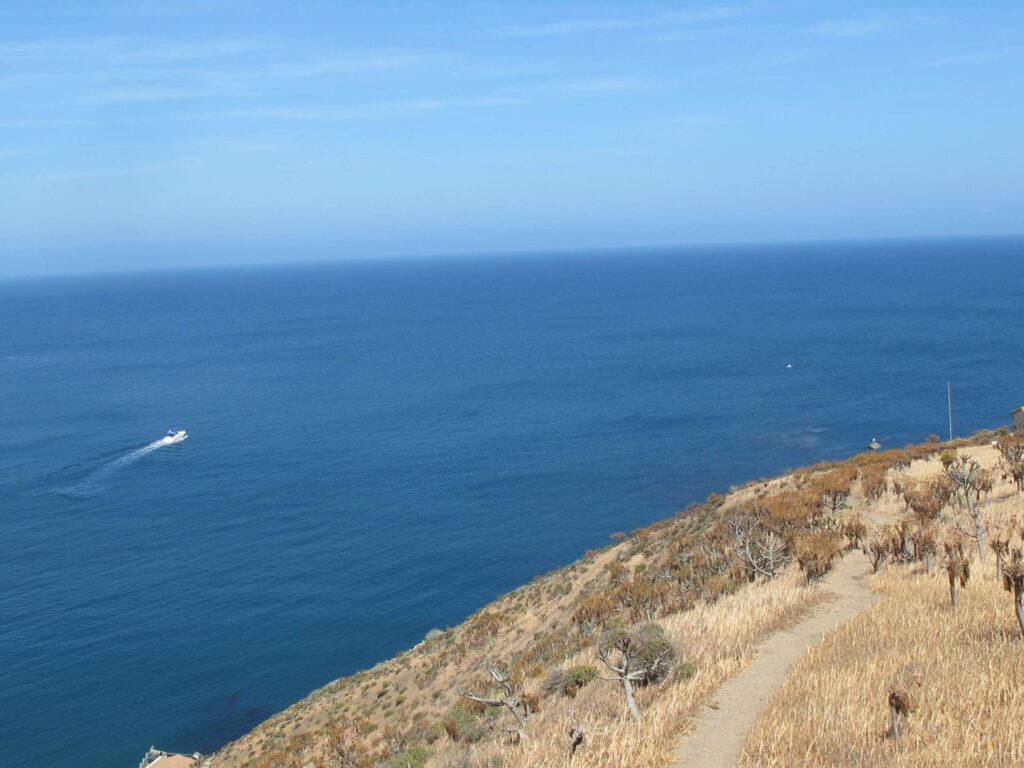
Michael had given me a portable two-way radio to carry in my pack, so I could call him when I was ready to be picked up. That proved to be a good idea in other ways. As I crested the island’s central ridge, able to see in all directions now, I looked east and saw the SS Obtuse at anchor. At the same moment I saw a white dot that looked a lot like our dinghy, but instead of being tied to the stern, it was far offshore. My first concern was that Michael was still in it, as we had been having trouble with the outboard after all that salad-making. Craiggie would be asleep, wouldn’t answer the radio, and… then what?
I pressed the transmit button a little nervously, “Shore party to Obtuse, shore party to Obtuse, over.” Michael answered with the reverse, and I said, “Um, what’s up with the dinghy?”
Then remembered to add, “Over.” That was the end of our radio formalities.
He spat out, “Hold on a sec,” then returned a few seconds later and spelled out, “AYFKM?” (Our shorthand for “are you kidding me,” with added emphasis.)
I laughed and said, “I guess you’re going for a boat ride.”
“I guess I am.”
After Michael dropped me off and returned to the boat, he had simply looped the bowline in the dinghy’s painter over a cleat, and the rolling swells had lifted it free. From my high vantage I watched as he raised the anchor and sped away, then I turned and kept walking toward Signal Hill, the highest lookout (630 feet).
The only other people on the island were the two biologists, busy with their tasks at Landing Cove, so I felt deliciously alone and free. As long as I stayed on the trail, the gulls did not become too upset, and I talked to them as I walked. “Don’t worry moms and dads, I won’t bother your babies.”
I tried to picture the lives of the fifteen people who had lived there from 1914 until the ’20s—the three Hyder brothers and their wives and children. On an island with no fresh water—it all had to be brought in by boat—somehow they raised sheep, goats, pigs, chicken, turkeys, rabbits, and even cultivated hay. About the weather, a son who grew up on the island, Buster, recalled, “Our house had big cables on the west side of it to keep it from blowin’ over the hill when them hard winds would come up. We watched more gosh-darn chickens and turkeys blow out in that ocean.”
About the scarcity of drinking water (and perhaps the multitudes of mice), he said, “A lotta times we had to drink ‘mice water.’ It was terrible. I took the mice out of the water every day. I had a long cane pole with holes in it so the water drained out around ’em. Boy, it was hard to drink it.”
Whatever romantic notions one might entertain about solitude and self-sufficiency, no question it was a hard life, backbreaking labor with few pleasures.
After a couple of hours of wandering, I circled back around to Landing Cove and radioed Michael to pick me up. On my way down to the dock I encountered the two young naturalists humping another load upward. The girl passed me with a red-faced smile, and the young man rested on a bench. I asked him, “How many loads have you carried up?”
He responded, “Today? Or in my life?”
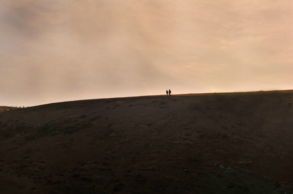
I laughed and said, “Today,” and he answered, “Five, I guess. So far. A few more still to go.” I learned that the two of them were stationed on the island in eight-day shifts by a non-governmental research organization, under the park service, to study the nesting birds. Back on the boat, as the sun set behind the island, we saw their silhouettes hiking back from the point, and Michael gave free reign to his fantasies.
Craiggie had found a little rest and recovery by then, and was up and around. I was feeling elevated by my experience—and the idea of it: I had finally walked on Santa Barbara Island, that thumb-tip on the horizon. The single-malt whisky tasted wonderful in the salt-tanged air. (Everything tastes better at sea.) The barking of sea lions carried on the wind gusts, and we were the only boat there. Craiggie put the potatoes and corn on the barbecue, while I prepared a butter and garlic rub for the steaks and opened a bottle of Malbec. We would not starve.
All was well until about four a.m., when I heard the main engines fire up. Michael had been awake most of the night, worried about the anchor’s bite (it was my suspicion the anchor was too small for that boat—a diagnosis Michael at first argued about then later agreed with, in a passive-aggressive way, by buying a larger one). In the wee hours of that dark night, he decided we were dragging anchor, and the currents were shifting—we would have to head for shore.
In utter darkness.
Modern navigation instruments are wonderfully helpful, of course, and the radar screens display not only nautical information, but mark the location and course of every vessel from small fishing boats to massive freighters, tankers, and container ships—even their names and destinations. Still, it was worrisome to be crossing one of the busiest shipping lanes in the world—the nautical chart showed the northbound and southbound lanes like an interstate highway, between them the “Separation Zone.” (That area figured dramatically in T. C. Boyle’s novel about the Channel Islands, When the Killing’s Done. More about that book in a minute.) A couple of nervous hours later, Michael, Craiggie, and I were glad to see sunlight leaking above the mainland ahead of us—showing us the huge container ship approaching straight across our course.
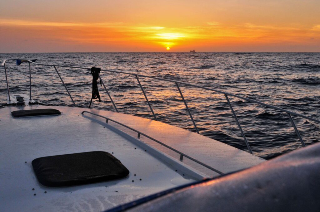
Photo by Craig M. Renwick
After a somewhat tense, tired, and hungry four hours, we made it back to Michael’s slip, and I fried us up some bacon and eggs. Craiggie was feeling better now—just to be back on land . . .
Only a month later, in early July, I chartered the SS Obtuse again, planning to add a few more islands to my collection. By that time I had a new ambition: to try to visit all of them. I had learned there actually was an “All Eight Club,” its website listing those who had set foot on each of the Channel Islands—only about 150 people in twenty years, so a fairly exclusive club.
The most difficult islands to go ashore on would be San Clemente and San Nicolas, which were held by the U.S. Navy as target ranges. I was hoping Michael’s membership in the Coast Guard Auxiliary might one day be helpful in getting us permission to land on those. For now, I would concentrate on the remaining islands in the national park.
After the Catalina and Santa Barbara Island voyage, Craiggie had continued to insist that he hadn’t been seasick—he would have been fine except for the food poisoning.
Some jokes went around among our mutual friends from a song in Gilbert and Sullivan’s HMS Pinafore, when the captain is strutting and boasting to his crew.
CAPT. Though related to a peer,
I can hand, reef, and steer,
And ship a selvagee;
I am never known to quail
At the fury of a gale,
And I’m never, never sick at sea!
ALL. What, never?
CAPT. No, never!
ALL. What, never?
CAPT. Well, hardly ever!
ALL. He’s hardly ever sick at sea!
Despite all Craiggie’s protestations, on that first crossing to Catalina Michael and I had seen his green face, and weren’t surprised to hear he wasn’t keen to repeat the experience. I invited our friend Chris Stankee, fellow motorcyclist, drummer, and “good man in a storm” (even if from land-locked Iowa). Michael had acquired a more suitable anchor, but this time we would be putting our hook down overnight in relatively exposed shelters. To help with anchor watch, he recruited one of his yacht-club buddies, Steve, who had the gift of being able to sleep anywhere, anytime, and thus stay awake late at night—the perfect man for overnight anchor watches.
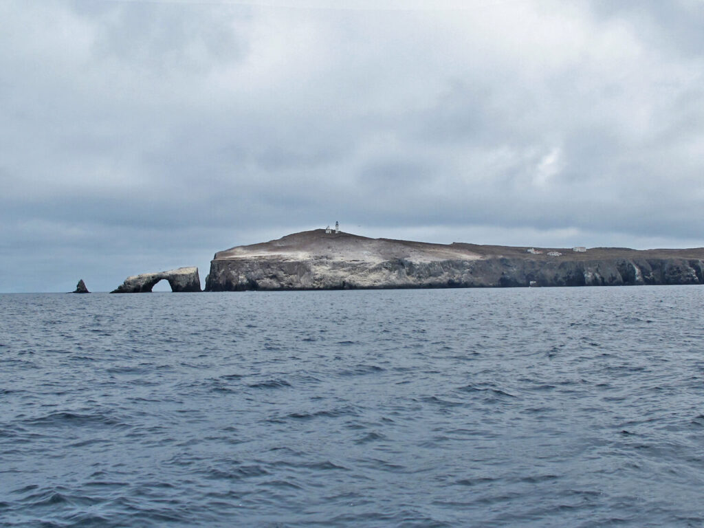
Photo by Craig M. Renwick
We were heading for Anacapa this time, then to Santa Rosa. The final one I needed from the national park, San Miguel, was currently closed to visitors by the navy. They had used it as a target for shelling and missiles up to 1980, and now claimed to have discovered “unexploded ordnance” there. The official announcement said they expected the island to remain closed for at least the rest of that year. (It is not too paranoid to wonder about government skulduggery in cases like that. On anchor watch that night, Michael listened on the shortwave as the Coast Guard directed the big ships in the Santa Barbara Channel away from a certain area at a certain time, because of a missile test.)
Part of the lure San Miguel had for me was that I had just read T.C. Boyle’s historical novel San Miguel, based on the true histories of families who had settled on that island in the 1880s and in the 1930s. (Another name for San Miguel, the outermost island where so many ships came to grief, is “Graveyard of the Pacific.”) The T.C. Boyle novel mentioned earlier, When the Killing’s Done, is set in modern times, mainly on Anacapa and Santa Cruz. Its theme is the conflict between the natural scientists who wanted to restore the islands to their natural state and the kneejerk reactionaries who protested the killing of the feral pigs to further that goal.
Little Anacapa underwent the same struggle—in its case, against the rats that had come ashore from a shipwreck (the paddle-steamer Winfield Scott crashed into the island at full speed on a foggy night in 1853—miraculously no one was killed). The rats multiplied and played havoc with nesting seabirds (Anacapa is the largest breeding site for the endangered brown pelicans, as well as for western gulls), and were only finally eradicated in 2003. The operation was a likewise controversial helicopter distribution of poison pellets, complicated because Anacapa also has an endemic species of deer mouse that they didn’t want to kill. But with careful timing and strategy, the program was a success.
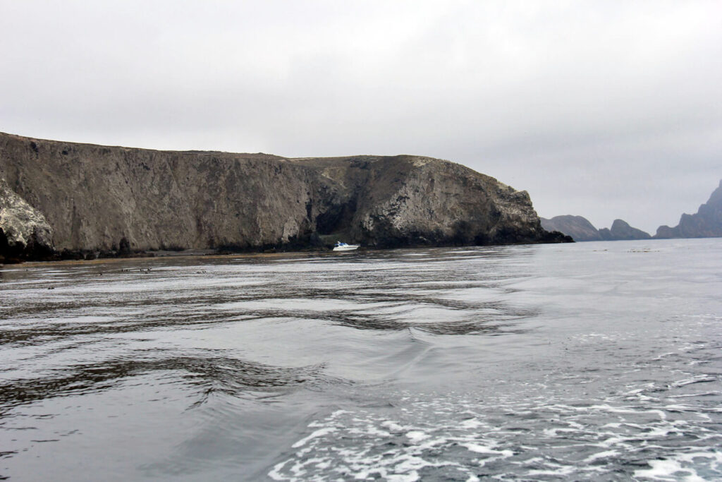
Photo by Michael Mosbach
Michael and Steve picked up Chris and me at a harbor near Ventura, and we motored out on calm seas (later I told Craiggie “You wouldn’t’a liked it”). By late afternoon, we were cruising around the tip of East Anacapa, with its emblematic Arch Rock, scouting the best anchorage. We eventually settled in Cathedral Cove, and as on Santa Barbara Island, we were the only boat around.
In the morning Michael ferried Chris and me to the landing dock, the ocean calm under gray skies. A national park service boat was approaching at the same time, and we circled in the narrow cove and waited to see what they wanted us to do. A uniformed ranger standing on the dock waved us in, and Chris and I scrambled up the metal ladder to the landing. The ranger shook our hands and directed us up to the trail, telling us we were welcome to visit the lighthouse, and the main trail to Inspiration Point, though some of the trails were closed to protect nesting seabirds. From higher up we paused to watch the park service boat ease stern-in to the pier, an impressive bit of boat-handling. About a dozen passengers in red lifejackets clustered around the large cargo deck, ready to debark—they proved to be groups of botanists and a diving team.
Chris and I carried on up the hill to the ranger buildings, then turned on the trail to the lighthouse. Because Anacapa was nearest to the shipping lanes, and thus important for navigation, it had long been controlled by the Bureau of Lighthouses—the only one of the Channel Islands that had never been privately owned. Its lighthouse was the last one to be built on the West Coast, in 1932, though of course it was now automated. I told Chris, “The earliest ambition I can recall is wanting to be a lighthouse keeper.” He snorted and said, “You could have saved the world from a lot of noise that way.”

